Enlarge / A cocoa pod, this one grown in Asia. (credit: Tan Dao Duy)
Cocoa farmers in Ghana and Côte d’Ivoire make less than a dollar a day. And there are almost 2 million of them; the two countries are the world’s largest cocoa producers, supplying two-thirds of the global supply. Cocoa is the primary perennial crop in both places.
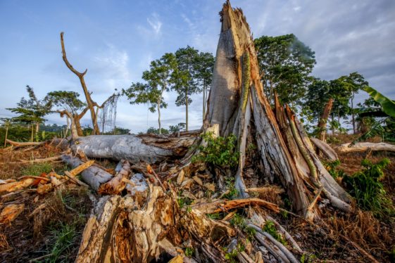
However, there are no up-to-date, accurate maps of their cocoa plantations. This is a problem since cocoa is known to be a primary driver of deforestation in the region. Besides decimating biodiversity that may never recover, clear-cutting forests to plant cocoa (or for any other reason) makes it hotter and makes storms stronger, both locally in Africa and across the planet.
So a team of European researchers made a deep neural network to collate publicly available satellite images of both countries with georeferenced cocoa farms, identified by their regular polygons. They then had a team in Côte d’Ivoire trekking around for three months to visit the farms and verify their results.
Read 5 remaining paragraphs | Comments

